
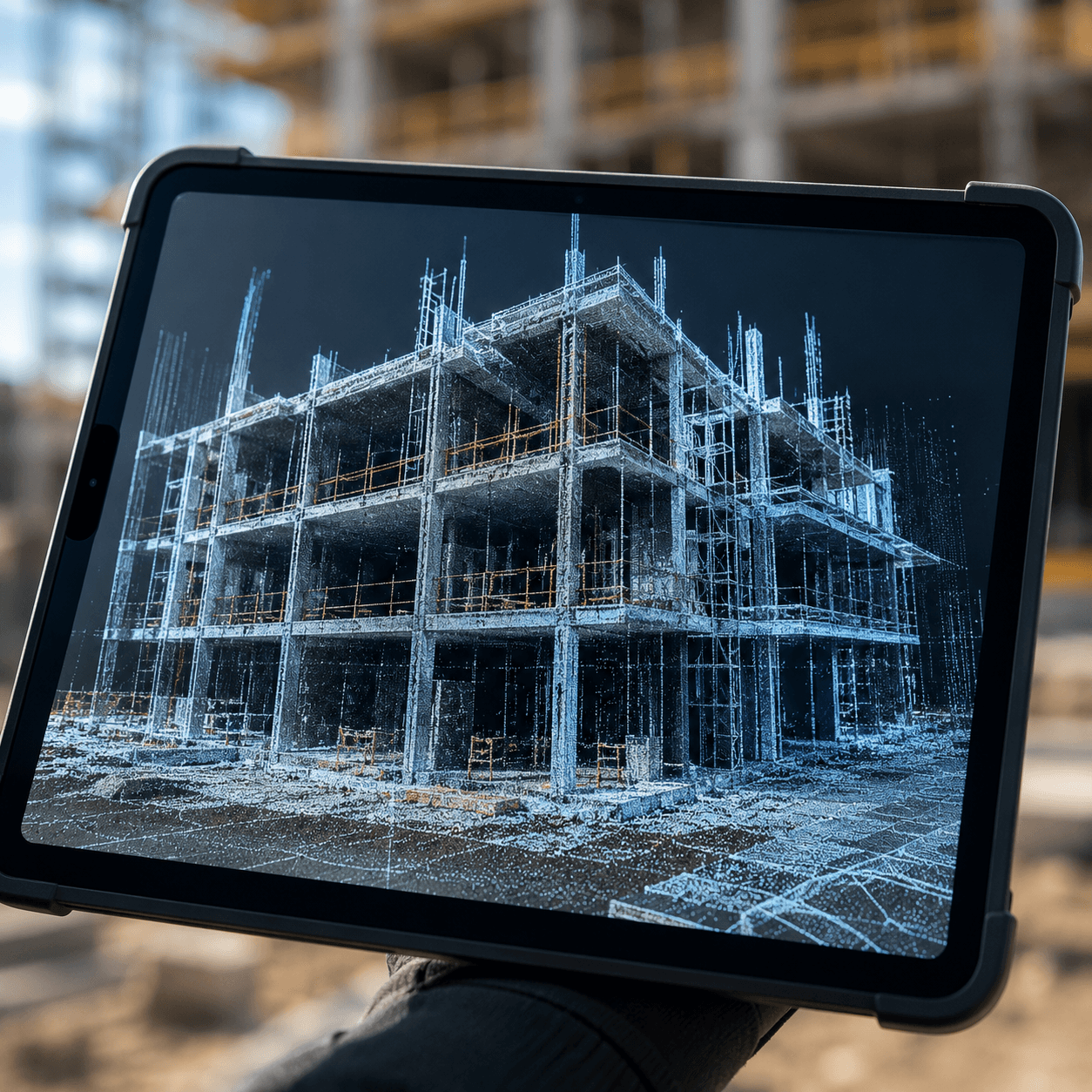
A new partnership between Esri and Pix4D allows field teams to capture 3D asset data via mobile app and sync it instantly with ArcGIS Online, connecting on-site reality capture directly to one of the industry’s most widely used geographic information systems.
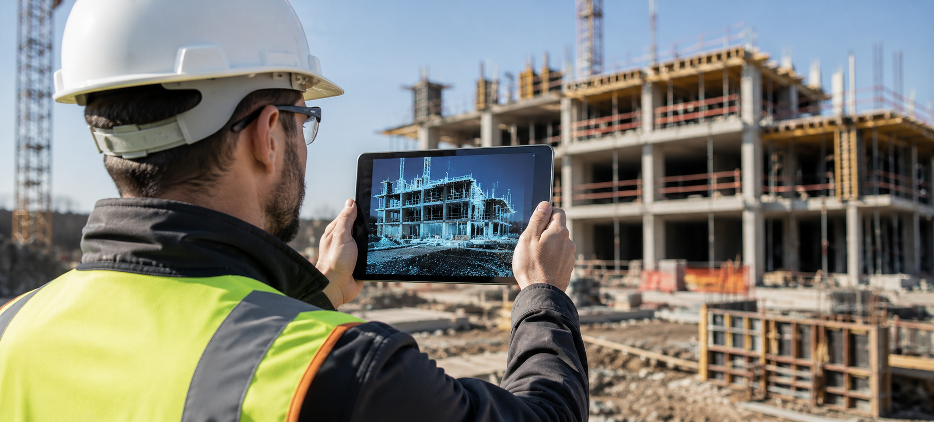
Reality capture technology has gotten remarkably good at producing detailed, accurate 3D scans of physical spaces, but the workflow connecting that captured data to the systems teams actually use to manage properties, infrastructure, and construction projects has often remained a separate, manual step, and the new partnership between Esri and Pix4D is built specifically to close that gap by syncing field-captured 3D data directly and instantly with ArcGIS Online. This blog explores why this kind of direct integration between capture and management systems matters more than the underlying scanning technology alone. It opens by explaining the practical workflow problem this solves, that field teams have traditionally captured 3D or spatial data on-site and then had to manually import, convert, or otherwise transfer that data into their organization’s actual mapping and asset management systems, a process that introduces delay and version confusion between what was physically captured and what decision-makers are actually looking at. The piece walks through what instant syncing between mobile capture and ArcGIS Online unlocks in practice, including real estate teams documenting property conditions on-site and having that data immediately available to remote stakeholders, and construction teams capturing as-built site conditions that instantly become part of the same spatial record used for project planning and progress tracking. It covers why choosing ArcGIS specifically as the integration target matters so significantly, since Esri’s platform is already deeply embedded across real estate, utilities, construction, and government infrastructure management, meaning this partnership plugs modern 3D reality capture directly into systems these industries already rely on daily rather than requiring them to adopt an entirely separate spatial data platform.
A section will address what this means practically for PointZero’s real estate and construction-adjacent clients, arguing that faster, more integrated 3D data capture directly strengthens the underlying data foundation that virtual tours, digital twins, and site visualization tools depend on, even when the visualization layer itself is built separately from this specific integration. The blog also touches on the broader trend this partnership reflects, that the real competitive advantage in reality capture and spatial data is increasingly shifting toward how well captured data integrates with the systems organizations already use, not just how accurate or detailed the capture itself is. Reality capture integration, GIS spatial data workflows, and real-time 3D field data are the throughlines here, treating a platform partnership as a meaningful step toward faster, more connected spatial data workflows across real estate and construction.